
Survival Land Navigation Review: Practical Map-and-Compass Skills for Off-Grid Travel
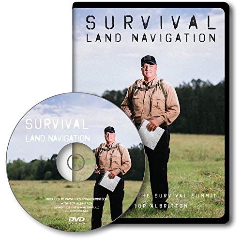
Survival Land Navigation is an instructional training program focused on practical wilderness navigation without relying on GPS technology. The approximately 90-minute course covers compass selection, declination, azimuths, pace counting, topographic map reading, route planning, improvised compass techniques, locating positions, and cache navigation. It is best suited to beginners, outdoor enthusiasts, preparedness-minded users, and anyone seeking a structured introduction to traditional land-navigation skills.
4.8(Based on 6 reviews)
Survival Land Navigation
SHOP NOW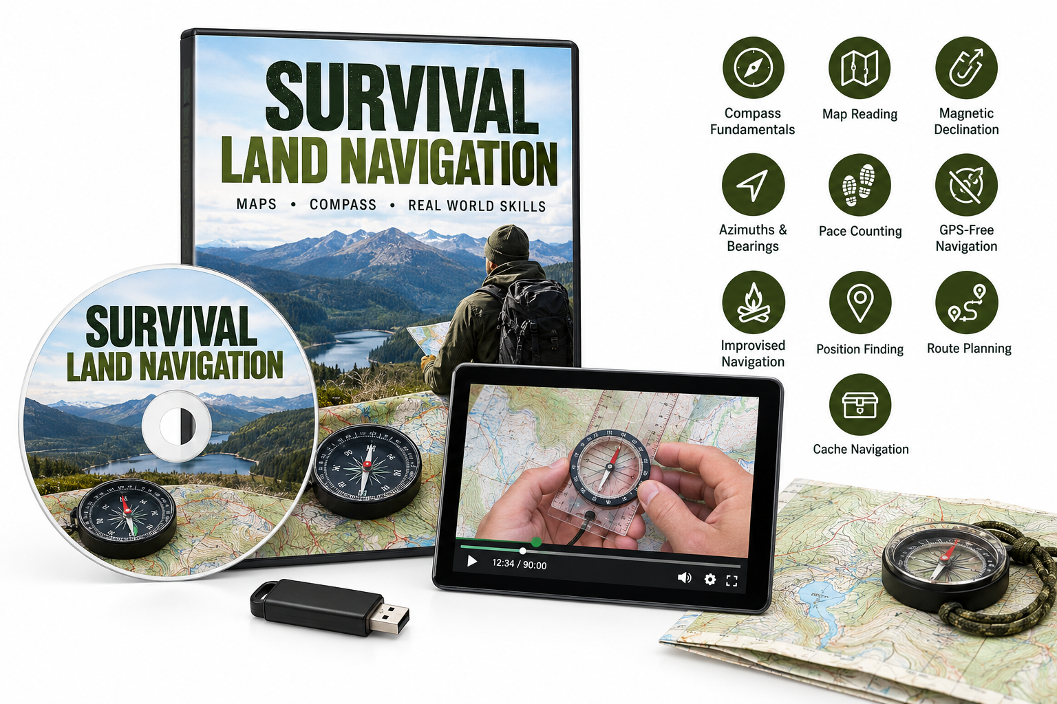
Introduction
Survival Land Navigation is an instructional video designed to teach foundational navigation skills for wilderness and emergency situations. Its central premise is that electronic navigation tools may become unavailable, making a map, compass, and a working understanding of terrain valuable backup tools.
Rather than presenting itself as a general survival kit or equipment package, the product focuses specifically on land-navigation techniques. The course is intended to help viewers understand how to determine their position, plan a route, and travel with greater confidence when GPS service or electronic devices cannot be relied upon.
Product Overview and Key Features
The program has an approximately 90-minute runtime and is offered in several formats, including DVD, USB, and online streaming, depending on the selected edition. The Amazon listing should be checked to confirm the exact format included with the product.
Key topics covered include:
- Compass fundamentals: Guidance on compass types, useful characteristics, and selecting an appropriate compass for navigation.
- Map reading: An introduction to reading topographic maps and interpreting terrain-related information.
- Magnetic declination: An explanation of declination and why it matters when transferring directions between a map and a compass.
- Azimuths and bearings: Instruction on using directional measurements to establish and follow a route.
- Pace counting: Techniques for estimating distance traveled when navigating across terrain.
- GPS-free navigation: Traditional methods for staying oriented without depending on electronic devices.
- Improvised navigation: Demonstrations involving primitive or homemade compass methods for emergency situations.
- Position finding: Strategies for determining where you are on a map and identifying routes toward important resources.
- Route planning: Considerations for selecting and following practical routes through unfamiliar environments.
- Cache navigation: Methods for hiding and locating a cache while maintaining reliable reference points.
The subject matter gives the course a practical orientation. It is not limited to definitions or theoretical explanations; it connects map-and-compass concepts with field-use scenarios.
Performance and User Experience
The main strength of Survival Land Navigation is its focused scope. Land navigation can be difficult for beginners because it combines map symbols, directional measurements, terrain awareness, distance estimation, and careful observation. By concentrating on these related skills in one training program, the course offers a more coherent starting point than learning isolated techniques from unrelated sources.
The material should be especially useful for viewers who are unfamiliar with declination, azimuths, pace counting, or topographic maps. These concepts are often confusing when encountered for the first time, so visual instruction can make the relationship between a map, compass, and surrounding terrain easier to understand.
The course also addresses situations in which standard equipment is unavailable. The coverage of improvised compass methods and cache navigation adds a preparedness dimension that may appeal to hikers, campers, outdoor educators, and survival-skills students.
However, a video course alone cannot replace field practice. Accurate land navigation requires repeated exercises with a real compass and topographic map, preferably in varied terrain and under different visibility conditions. Users should treat the program as an introduction or refresher rather than a complete substitute for supervised practical training.
Another limitation is that the program appears to emphasize traditional navigation rather than modern GPS integration. That focus is appropriate for the product's purpose, but users seeking advanced digital mapping, navigation applications, or detailed military-style terrain analysis may need additional resources.
Pros and Cons
Pros
- Focuses specifically on practical land-navigation skills.
- Covers essential topics such as declination, azimuths, pace counting, and topographic maps.
- Explains how to navigate without relying on GPS.
- Includes emergency and improvised navigation concepts.
- Addresses route planning and determining position in the field.
- Available in multiple formats depending on the selected edition.
- Suitable as an introductory resource for outdoor and preparedness audiences.
Cons
- A video course cannot provide the hands-on experience of field training.
- Beginners may need to pause and repeat sections while practicing with actual equipment.
- The course may be less useful to experienced navigators looking for advanced instruction.
- The exact included format depends on the Amazon listing and selected version.
- It does not appear to replace a detailed navigation manual, current topographic maps, or supervised practical exercises.
Conclusion and Recommendation
Survival Land Navigation is a focused instructional resource for learning the fundamentals of traditional wilderness navigation. Its coverage of compass use, topographic maps, declination, azimuths, pace counting, route planning, and GPS-free travel gives beginners a practical foundation for developing greater outdoor confidence.
The product is best recommended for hikers, campers, preparedness enthusiasts, scouts, and students of survival skills who want a structured introduction to map-and-compass navigation. It is also useful as a refresher for users who understand the basics but want to review core concepts.
The most effective way to use the course is alongside a quality compass, an appropriate topographic map, and real-world practice. For those expectations, Survival Land Navigation offers a relevant and practical starting point rather than a complete navigation curriculum.